

PBI Does Drone Aerial Imaging (July 31, 2020)
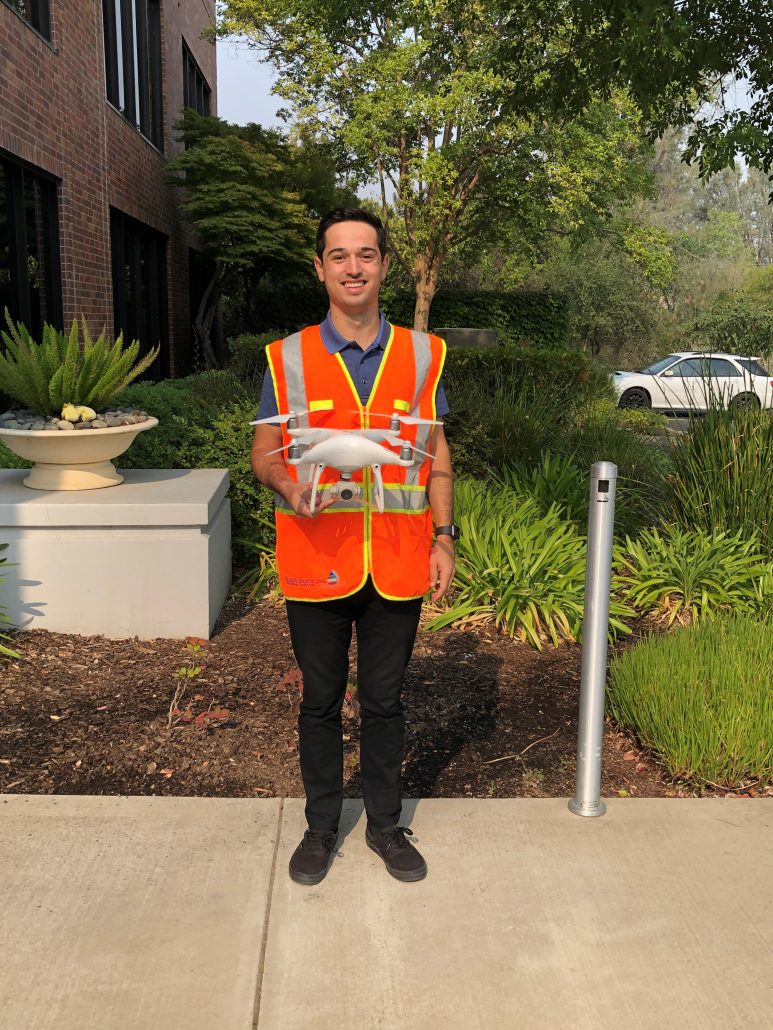
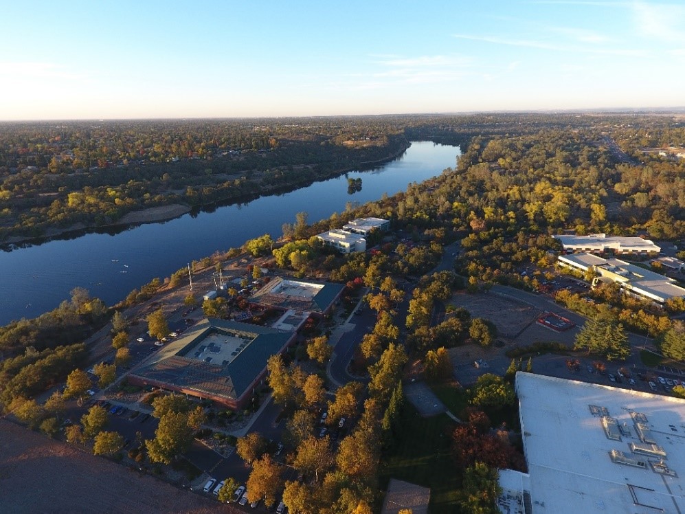
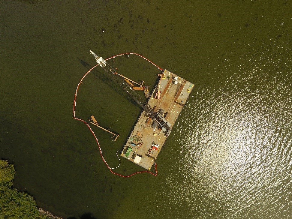
PBI is happy to announce that staff engineer, Scott Putty, is the newest licensed drone pilot (FAA Part 107 Certified). PBI continues to offer aerial imaging as part of its ability to aid in the design and inspection of various projects. PBI offers the ability to create a 3D model, view the plant health, and obtain elevation data for the mapped area. The resulting 2D map can also be exported as high-resolution aerial imagery for GIS.
~~~~~~~~~~~~~~~~~~~~~~~~~~~~~~~~~~~~~~~~~~~~~~~~~~~~~~~~~~~~~~~~~~~~~~~~~~~~~~~~~

